Do you know what’s happening below the surface of your pond?
We do.
The primary job of your pond is to catch sediment and nutrients (like phosphorus), preventing them from being passed on to our streams and rivers. The better it does its job, the more sediment your pond collects. But how do you know if your pond is full? ILM offers sediment studies that provide the data you need to plan, budget, and avoid costly issues like flooding in the future.

Turning Mud Into Measurable Data.
What is a Sediment Study?
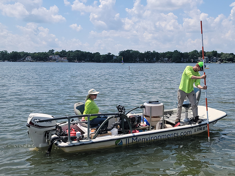
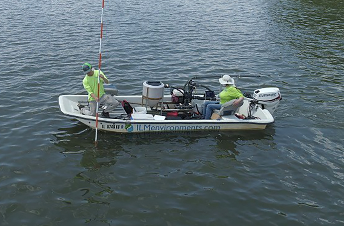
A sediment study measures how much sediment has accumulated in your pond, where it is located, and how much needs to be removed to restore the functionality and health of your pond. Using tools like GPS-guided sonar and sediment probing, this study provides accurate data on:
- Sediment depth and distribution
- Total sediment volume (in cubic yards)
- Water depth
- Changes since original basin or lake construction
- Rates of sedimentation over time. This assumes sediment studies are conducted at regular intervals. Every five years is recommended.
Not just cool looking maps!
Dive deeper into Bathymetric Mapping +

Why It’s Critically Important.
Avoid Property Damage
Ponds, channels, and other stormwater control measures fill in slowly and silently—until they flood. Knowing your sediment accumulation rate allows you to schedule maintenance before you lose capacity and experience potential property damage or loss.
Maintain Aesthetics & Avoid Complaints
As sediment accumulates and begins to shift the balance of your ecosystem, noticeable changes will occur, from unsightly algae to strong odors. While aesthetics may seem to be a side effect of the problem, complaints are sure to surface. Sediment studies will give you the data you need to be proactive in keeping the environment balanced and the community happy.
Accurate Dredging Estimates
Guesswork leads to change orders and busted budgets. A sediment study provides reliable volume estimates so you can design, bid, and plan confidently.
Permitting & Compliance
Agencies often require verified sediment volumes before issuing dredging or disposal permits.
Capital Planning
Back up funding requests with defensible numbers. Show sediment accumulation trends over time to justify the need for investment.
Environmental Restoration
Back up funding requests with defensible numbers. Show sediment accumulation trends over time to justify the need for investment.
Environmental Restoration
Whether you’re restoring habitat, improving water quality, or enhancing recreation, a quantitative sediment study defines exactly what needs to be removed to meet your goals.
Let’s get prepared!
Click here to email us and we’ll send you more info on ILM Sediment Studies.
Deliverables That Work For You
Our reports and maps are designed to be:
- Engineer‑ready for design teams
- Stakeholder‑friendly for boards and funding agencies
- Permit‑compliant for regulators
- Visually clear with GIS maps, elevation change diagrams, and sediment volume tables
Why Choose ILM Environments?
Proven Methods:
We combine hydroacoustic mapping with sediment probing to deliver unmatched accuracy.
Faster Turnaround:
We get your data back with ten days of conducting the field work. No long wait times or delayed reports.
Scalable Solutions:
Whether it’s a 1-acre detention basin or a 200-acre lake, our approach scales to your project.
The Bottom Line.
A Sediment Study gives you the hard numbers to answer:
- How much sediment is there?
- Where is it concentrated?
- How much will removal cost?
- When will we need to act again?
Get the Data You Need to Act.