Wetland delineations are field-based investigations that identify and map the boundaries between wetland habitats and upland areas (dry land). They are required for regulatory compliance under the Clean Water Act, ensuring that development projects do not negatively impact protected wetlands.
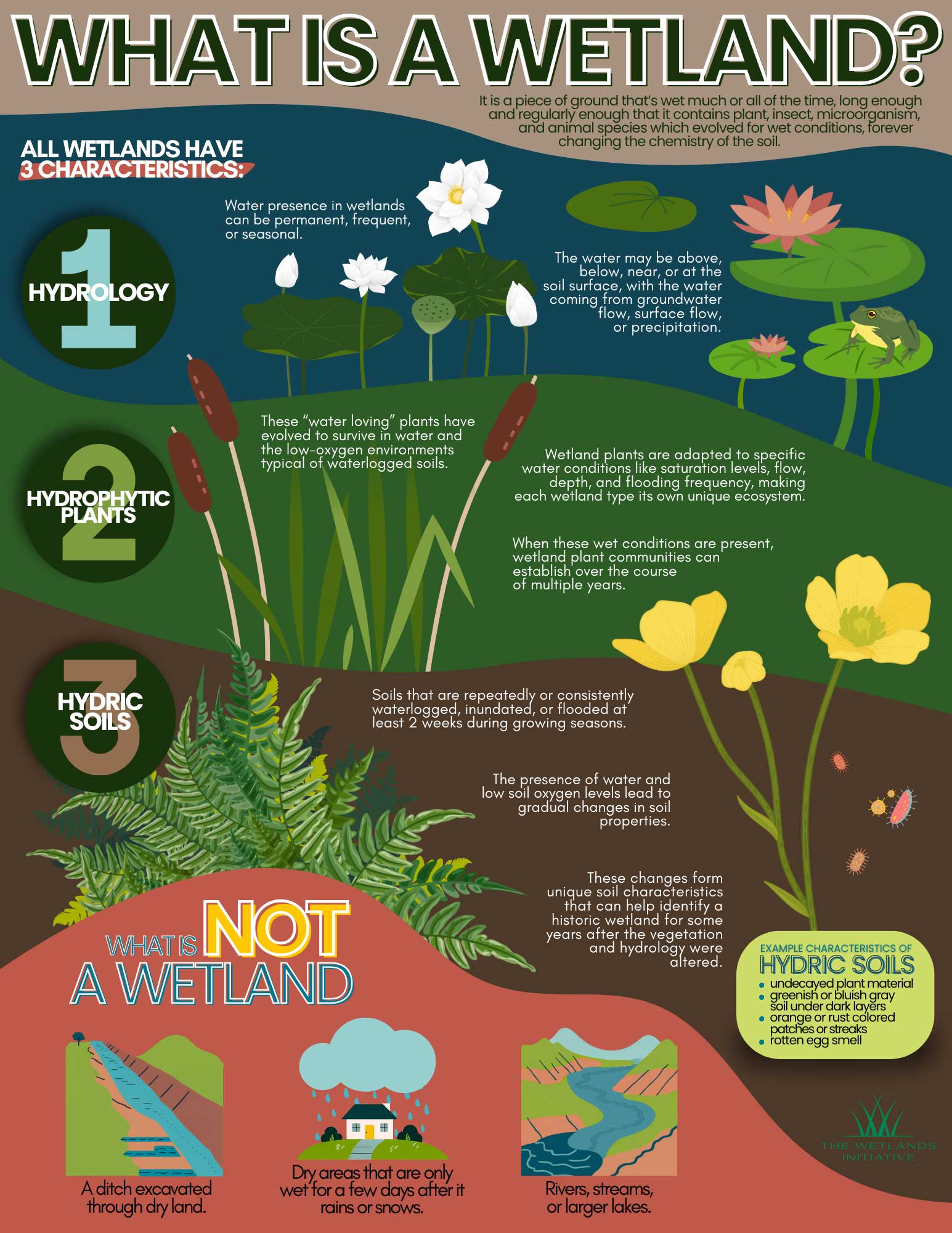
What is a Wetland?
Wetland delineation is the scientific process of identifying and marking the precise boundaries of a wetland on a given parcel of land. A certified wetland consultant evaluates the site using the U.S. Army Corps of Engineers (USACE) three-parameter methodology. To be defined as a wetland under federal regulations, a site must show evidence of the following:
Hydrophytic Vegetation
Plants that are adapted to life in saturated soil conditions (example: obligate and facultative Wetland plants).
Hydric Soils
Soils that are saturated, flooded, or ponded long enough during the growing season to develop anaerobic conditions. Hydric soils are further defined as 14 consecutive days of saturation during the growing season during normal conditions.
Wetland Hydrology
Water is present at or near the surface for a sufficient period during the growing season. Other secondary indicators include water-stained leaves, water marks on trees, and crayfish burrows. It should be noted that under drought conditions, this parameter may not apply.
Why Are Wetland Delineations Required?
Proper Permitting
Before construction, developers must know if wetlands exist on a site to secure permits from the U.S. Army Corps of Engineers (USACE) or local agencies.
Protection
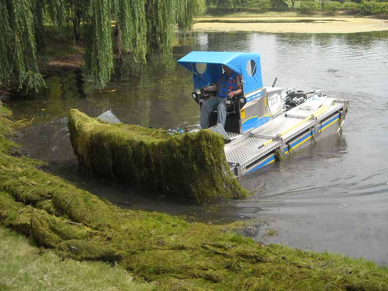
Wetland delineation service ensure that protected wetland areas, which help prevent flooding, filter pollutants from water and provide habitat for wildlife, are not illegally filled or disturbed.
Project Planning
Identifying wetlands early helps avoid costly construction delays or building in flood-prone areas, as wetlands are often the lowest points on a property. Wetland delineations help avoid costly violations and unnecessary “red tape”.
Who Needs a Wetland Delineation Report?
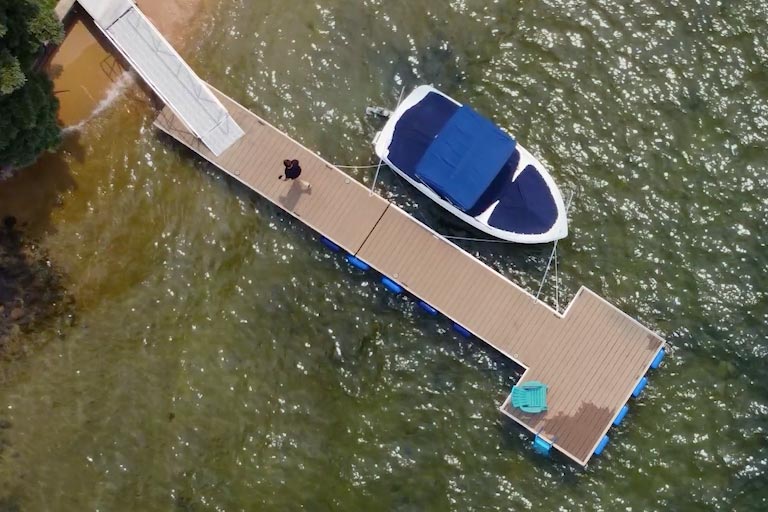
Wetland delineation service is required across a wide range of property types and project situations. If your land lies near water, low-lying areas, or historically farmed ground in Illinois, Wisconsin, or Indiana a delineation may be necessary before any significant land use change.
Wetland delineations are useful for:
- Residential Property Owners
- Commercial Developers and Builders
- Municipal and Government Agencies
- Agricultural and Conservation Land Managers
Click here to learn more about Wetland Delineation.
Next Steps
Are you planning development of a change in land use near or on a wetland? Make sure you’re covered. Contact us today to discuss what is needed.